The radiosonde ascent
A balloon rises for around ninety minutes until the latex gives way at roughly thirty kilometres, transmitting all the way up.
A small box in a lot of sky
Twice a day, every day, at roughly the same moment across every participating country, a meteorologist or technician walks out to a clearing and releases a balloon. Not a ceremony — a job, and an old one. The launches happen at 00:00 and 12:00 Coordinated Universal Time, a simultaneity agreed under the World Meteorological Organization ↗'s global observing system so that every national forecast model sees the atmosphere at the same instant. The balloon is latex, about a metre and a half across at launch. The instrument package dangling beneath it is a radiosonde: a small plastic housing the size of a shoebox, carrying sensors for temperature, humidity and pressure, a radio transmitter, and a GPS receiver. It weighs a few hundred grams. It rises.
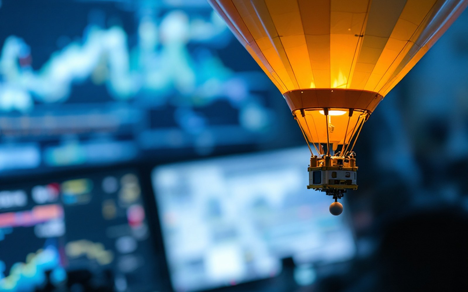
The ascent takes roughly ninety minutes. The balloon climbs at somewhere between four and six metres per second, which is fast enough to feel purposeful and slow enough to sample each layer of the atmosphere with useful resolution. As it rises the air pressure outside drops, and the latex — elastic by design — expands. A balloon that left the ground at one and a half metres may be five or six metres across near the top of its journey. At around thirty kilometres altitude, where pressure is less than one percent of its sea-level value, the latex can stretch no further. It bursts. The instrument package falls, slowed by a small parachute, and is rarely recovered. The data it transmitted on the way up is what mattered.
What the ascent measures, and why it is hard to replace
Every few seconds the radiosonde transmits its readings: temperature, relative humidity, pressure derived from the GPS altitude, and the wind vector — direction and speed — calculated from the rate and bearing of the package's horizontal drift. These are not surface readings. They are a vertical column, a sounding, reaching from the boundary layer where weather forms into the stratosphere where it is steered. A single ascent might produce several thousand data points stacked through the atmosphere. The collective noun for a morning's global releases — roughly eight hundred stations participate on any given day — is an aerological network, and the picture it builds is the vertical skeleton of every numerical weather forecast run that day.
Satellites observe the atmosphere too, but they measure radiance rather than temperature directly, and the inversion required to extract a temperature profile from radiance is mathematically constrained in ways that limit vertical resolution. The radiosonde measures temperature in situ — its sensor is actually there, in the air it is reporting. That directness is why, despite the labour and the cost of each flight, and despite decades of satellite development, radiosondes remain the primary source of upper-air truth against which satellite retrievals are checked and calibrated.
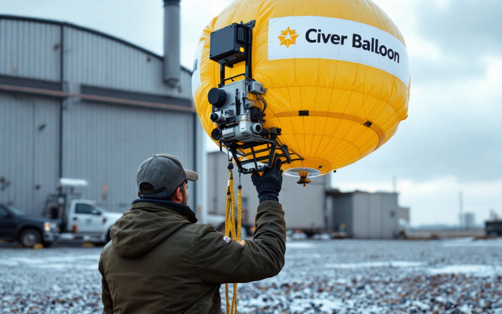
The instrument itself is not new. Pavel Molchanov, a Soviet meteorologist, developed and launched the first practical radiosonde in 1930, and the basic concept — sensors, transmitter, balloon — has not changed in principle since. What has changed is miniaturisation, GPS (which replaced the ground-based tracking systems once needed to derive winds), and the precision of the humidity sensors, which remain the hardest part of the measurement chain. Cold and very dry air at altitude behaves poorly with many sensor materials; humidity measurement above the tropopause is still an active research problem.
The data's journey into the forecast
A radiosonde signal is received at a ground station and decoded within seconds. The resulting data profile is formatted and transmitted almost immediately into the Global Telecommunication System ↗, the WMO's real-time data network, where it is made available to every national meteorological service and to international centres. Within a few hours of launch, upper-air soundings from Nairobi, Reykjavík, Shanghai and Resolute Bay in northern Canada are sitting in the same assimilation queue.
A balloon rises for around ninety minutes until the latex gives way at roughly thirty kilometres, transmitting all the way up.
Data assimilation is the step that places these observations into the model's initial state — a mathematically careful reconciliation of the measurements with the model's own first guess of where the atmosphere is. A radiosonde sounding carries particular weight in this process because it provides direct, vertically resolved temperature and wind data in a column, which is exactly the structure the model thinks in. It constrains the analysis in ways that surface station reports or satellite swaths alone cannot.
The consequence is measurable. Studies using the ECMWF's forecast system — the European Centre for Medium-Range Weather Forecasts operates from Reading, England, and its model is widely regarded as a benchmark — have shown that withdrawing the radiosonde network from the assimilation system produces a rapid and substantial degradation in forecast quality, particularly in the middle and upper troposphere, and particularly in the Southern Hemisphere where the network is thinnest. No other observing system has yet been shown to fully substitute for it.
The gap in the southern sky
The global radiosonde network is not global in any symmetric sense. In the Northern Hemisphere, especially across Europe, North America and East Asia, launch sites are reasonably dense. Across the Southern Ocean, across central Africa, across much of the tropical Pacific, they are sparse or absent. The ocean covers most of the planet, and no one stations meteorologists on empty sea to release balloons twice a day.
The ascent in numbers
- Launch time00:00 and 12:00 UTC daily, simultaneously worldwide
- Typical climb rate4–6 metres per second
- Balloon diameter at launchapproximately 1.5 metres; up to 5–6 metres at burst
- Burst altituderoughly 30 km (lower stratosphere)
- Flight durationapproximately 90 minutes
- Data points per soundingseveral thousand vertical levels
- Active stations globallyapproximately 800 participating on a given day
- Instrument weighta few hundred grams
This asymmetry is not invisible. Forecast skill — measured objectively by services including NOAA and the Met Office against eventual observations — is systematically lower over data-sparse regions. The error grows fastest where the initial state is least well known, which is exactly where the atmosphere is also often most energetic: the storm tracks of the Southern Ocean, the convective systems of the tropics. Research flights and instrumented buoys contribute data in some of these areas, but they do not produce the vertical profiles that a balloon provides.
Key people and firsts
- Pavel MolchanovSoviet meteorologist credited with the first practical radiosonde, 1930
- ECMWF, Readingbenchmark model; withdrawal experiments show radiosonde network's unique value
- WMO Global Telecommunication Systemreal-time network routing data from every national service
Efforts to extend the network have included dropsondes — instruments released from aircraft that fall rather than rise, measuring a column on the descent — and automated balloon systems that can be operated remotely. The cost of establishing and running a manned upper-air station remains the primary barrier, which is why coverage maps for the radiosonde network track closely onto economic geography.
None of this undermines the forecast you received this morning. It does mean that the confidence embedded in that forecast — the range of outcomes the model considered plausible, the width of the uncertainty — has a shape, and part of that shape is the location of the nearest balloon release a few hours ago. Somewhere, probably before dawn, a technician filled a latex balloon, attached a small box of sensors, and let it go into a cold sky. Ninety minutes later, the data was already inside the model.
Elsewhere in Instruments
A thermometer in a louvred box, and everything after it. Everything in this section.
- The Stevenson ScreenLongLouvred wood, white paint, a specified height: the point is to measure air rather than sunshine, and the design has barely changed.
- Anemometers, and Robinson's cupsMediumFour cups on a spindle turn at a rate related to wind speed — a relationship that turned out to be less simple than its inventor believed, and had to be calibrated rather than derived.
- The Buoys Nobody VisitsMediumMost of the planet is ocean, so most observation is unattended and has to survive years without maintenance.
- What satellites cannot seeMediumA satellite measures radiance, not temperature, and turning one into the other is a calculation with assumptions in it.