What satellites cannot see
A satellite measures radiance, not temperature, and turning one into the other is a calculation with assumptions in it.
A satellite looking down at the atmosphere does not see temperature. It sees brightness — and the gap between those two things is where the errors live.
The measurement that isn't what it looks like
Every weather satellite in orbit — the geostationary platforms parked over the equator, the polar orbiters sweeping from pole to pole — works the same fundamental way: it measures radiance, the intensity of electromagnetic radiation reaching its sensors from below. Some channels measure reflected sunlight. Others measure infrared radiation emitted by the atmosphere itself. Neither is temperature. Temperature is what you calculate afterward, and the calculation carries assumptions.
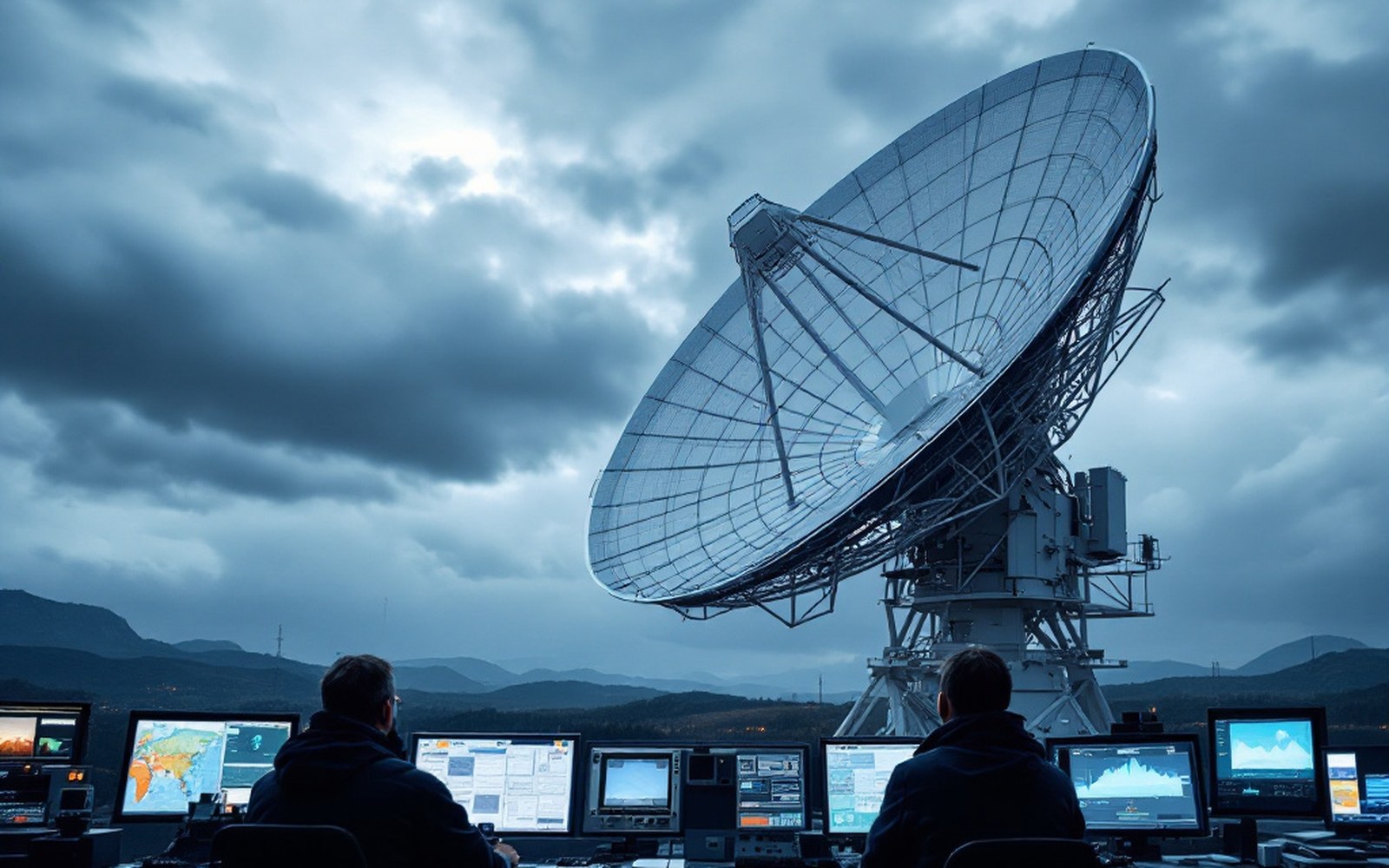
The process is called radiative transfer, and it converts radiance into something physically useful by modelling how radiation passes through each layer of the atmosphere. The model needs to know what gases are present, in what concentrations, and how they absorb and emit at each wavelength. For water vapour, ozone and carbon dioxide those relationships are well-characterised by laboratory spectroscopy ↗, but "well-characterised" is not the same as exact. The retrieval — the inversion that works backward from the measured signal to the atmospheric state — is an underdetermined problem. More than one atmospheric profile can produce the same radiance at the top of the atmosphere.
A satellite measures radiance, not temperature, and turning one into the other is a calculation with assumptions in it.
That ambiguity is not a flaw in satellite design; it is a physical property of the measurement. It is managed with prior information: a background estimate of what the atmosphere probably looks like, drawn from the model's own first guess. In this way the satellite doesn't tell the model what the atmosphere is — it tells the model how much to nudge its existing estimate. The distinction matters enormously when the first guess is wrong.
What the satellite cannot see through
Clouds are the obvious problem, though not in the way most people assume. A satellite infrared channel pointed at a cumulonimbus sees the cold top of the cloud and nothing below. What it cannot measure is the temperature, humidity or wind inside that column — exactly the region where the weather is being made. Microwave channels penetrate cloud more effectively than infrared, and modern instruments exploit that, but even microwave retrievals lose skill in heavy precipitation, where the assumptions in the radiative transfer calculation break down fastest.
The surface creates a different complication. A satellite measuring in a window channel — a part of the spectrum where the atmosphere is relatively transparent — mostly sees the surface rather than the air above it. Over ocean that is manageable: sea surface temperature is retrieved with reasonable accuracy. Over land, surface emissivity varies with soil type, vegetation and moisture in ways that are difficult to pin down precisely, which muddies any retrieval that depends on it. Snow and ice compound the problem further, because their emissivity in microwave bands changes with grain structure and melting state.
How the observation chain works
- Radiancewhat the satellite actually measures: electromagnetic radiation reaching its sensors
- Radiative transferthe physical model that converts radiance into an atmospheric variable like temperature
- Retrieval (inversion)the calculation that works backward from radiance to atmospheric state; underdetermined by nature
- Background statethe model's first guess, used to constrain the retrieval; errors in it propagate forward
- Window channela spectral band where the atmosphere is relatively transparent, so the satellite mostly sees the surface
Near the surface, all satellite channels lose vertical resolution. A sensor measuring the brightness of an atmospheric layer several kilometres thick may capture the right column average but miss the sharp inversion at one kilometre that controls whether fog lifts or stays all morning. Radiosondes are still the main source of sharp vertical profiles precisely because a balloon simply moves through the atmosphere layer by layer, measuring each one directly, without the smearing that radiative transfer imposes on a measurement made from above.
The retrieval and its consequences
None of this makes satellites the weak link in observing the atmosphere — they cover the ocean, the poles and the tropics with a density that no surface network can match, and they have transformed medium-range forecasting since the 1970s. EUMETSAT's documentation on satellite data assimilation shows how central that contribution has become. But a satellite observation that enters data assimilation at a European Centre for Medium-Range Weather Forecasts system in Reading ↗, England, enters not as a temperature but as a radiance — compared directly against a synthetic radiance calculated by running the radiative transfer model on the forecast's own background state. The chain is: measure radiance, model radiance, compare, adjust. The adjustment is only as good as the radiative transfer model, the assumed surface properties and the background state that feeds the whole process.
Where each surface type causes trouble
- Oceanmanageable; sea surface temperature retrieved with reasonable accuracy
- Landsoil type, vegetation, moisture all affect emissivity and muddy the retrieval
- Snow and icemicrowave emissivity varies with grain structure and melt state, making assumptions unreliable
- Cloud topsinfrared channels see the cold top and nothing below; the weather-making interior is hidden
The brightness is real. What you read from it is a choice, made inside a calculation, constrained by physics but not determined by it alone.
Elsewhere in Instruments
A thermometer in a louvred box, and everything after it. Everything in this section.
- The Stevenson ScreenLongLouvred wood, white paint, a specified height: the point is to measure air rather than sunshine, and the design has barely changed.
- The radiosonde ascentLongA balloon rises for around ninety minutes until the latex gives way at roughly thirty kilometres, transmitting all the way up.
- Anemometers, and Robinson's cupsMediumFour cups on a spindle turn at a rate related to wind speed — a relationship that turned out to be less simple than its inventor believed, and had to be calibrated rather than derived.
- The Buoys Nobody VisitsMediumMost of the planet is ocean, so most observation is unattended and has to survive years without maintenance.