The Aircraft That Report
The busiest instrument network in the atmosphere is also the one nobody designed.
The busiest instrument network in the atmosphere is also the one nobody designed.
Every flight is a sounding
Modern commercial aircraft carry sensors that measure outside air temperature and wind speed continuously, and every few minutes — sometimes more often during ascent and descent — they transmit those readings automatically to ground stations via a system called AMDAR: Aircraft Meteorological Data Relay. The data arrives tagged with position, altitude and time, slips into data assimilation pipelines at forecast centres, and by the time a passenger has finished their first coffee the readings are already inside a numerical model.
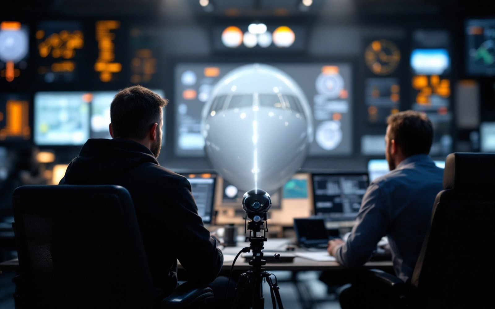
Nobody built a weather network and then handed it to airlines. Airlines built a transport network and meteorologists quietly parasitised it. The sensors existed for flight-management purposes; the reporting protocol was grafted on later. The World Meteorological Organization coordinates the global standard that makes readings from different aircraft fleets interchangeable.
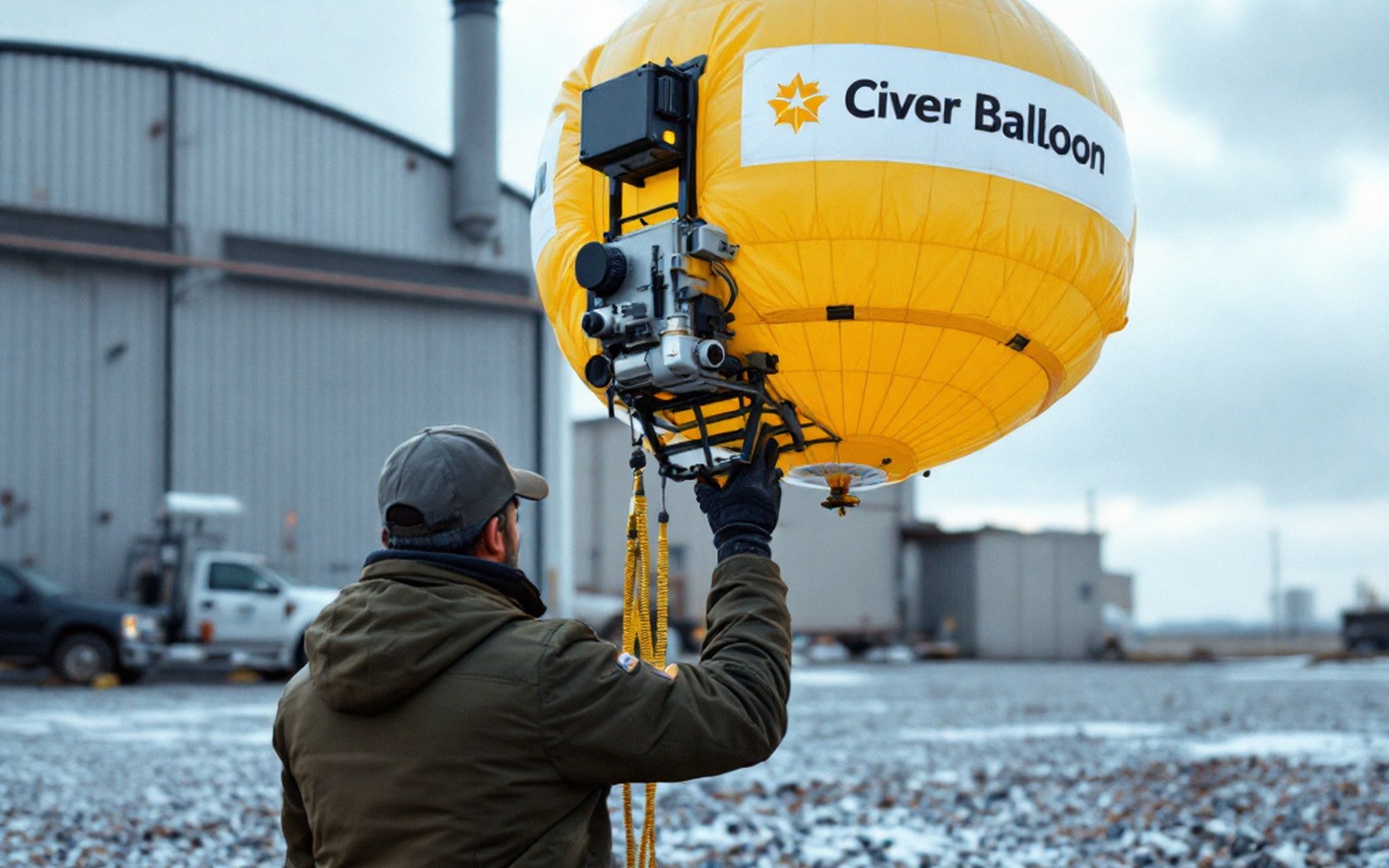
What makes aircraft reports unusually valuable is where the readings come from. Radiosondes — the balloon-borne packages that give meteorologists vertical profiles of the atmosphere — are launched from fixed sites twice a day at most. Aircraft, by contrast, ascend and descend through dozens of airports continuously, generating dense vertical soundings over the places where people and weather both concentrate: cities, coastlines, busy corridors. At cruise altitude they cover swathes of ocean and continent that have almost no other upper-air observations.
The busiest instrument network in the atmosphere is also the one nobody designed.
The dependency became visible in early 2020 when commercial aviation contracted sharply ↗ and the aircraft-observation network thinned almost overnight. Several national meteorological services and ECMWF in Reading documented measurable degradation in forecast quality, particularly for upper-level wind fields over the North Atlantic — exactly the region where aircraft reports were once dense and other observations are sparse. The effect was modest and short-lived, but it was real and it was detectable, which is the clearest possible demonstration of what the network contributes.
How it works — the chain
- AMDARthe global aircraft weather-reporting protocol, coordinated by the WMO
- ACARSthe datalink system aircraft already used for operations, which AMDAR piggybacks on
- Data assimilationthe process that absorbs aircraft reports into a numerical model
- Radiosondethe balloon alternative for upper-air profiles; launched only twice daily from fixed sites
The system now spans thousands of aircraft ↗ across dozens of operators. Most passengers never know their plane is reporting the weather. Most forecasters never think about the passenger. Both facts are fine: the data moves either way, arriving at forecast centres in near-real time, folded into the model, gone.
Elsewhere in Instruments
A thermometer in a louvred box, and everything after it. Everything in this section.
- The Stevenson ScreenLongLouvred wood, white paint, a specified height: the point is to measure air rather than sunshine, and the design has barely changed.
- The radiosonde ascentLongA balloon rises for around ninety minutes until the latex gives way at roughly thirty kilometres, transmitting all the way up.
- Anemometers, and Robinson's cupsMediumFour cups on a spindle turn at a rate related to wind speed — a relationship that turned out to be less simple than its inventor believed, and had to be calibrated rather than derived.
- The Buoys Nobody VisitsMediumMost of the planet is ocean, so most observation is unattended and has to survive years without maintenance.