The Buoys Nobody Visits
Most of the planet is ocean, so most observation is unattended and has to survive years without maintenance.
They drift, they pitch, they transmit — and without them, the forecast for half the planet is guesswork.
A Sparse Network on a Wide Ocean
The ocean covers about seventy percent of Earth's surface, and almost none of it has a weather station on it. What it has instead is a population of instrumented floats — moored buoys anchored to the seabed in fixed positions, and drifting buoys carried wherever the currents take them — each one measuring the atmosphere at the water's surface and transmitting upward through a satellite relay that nobody ever has to touch.
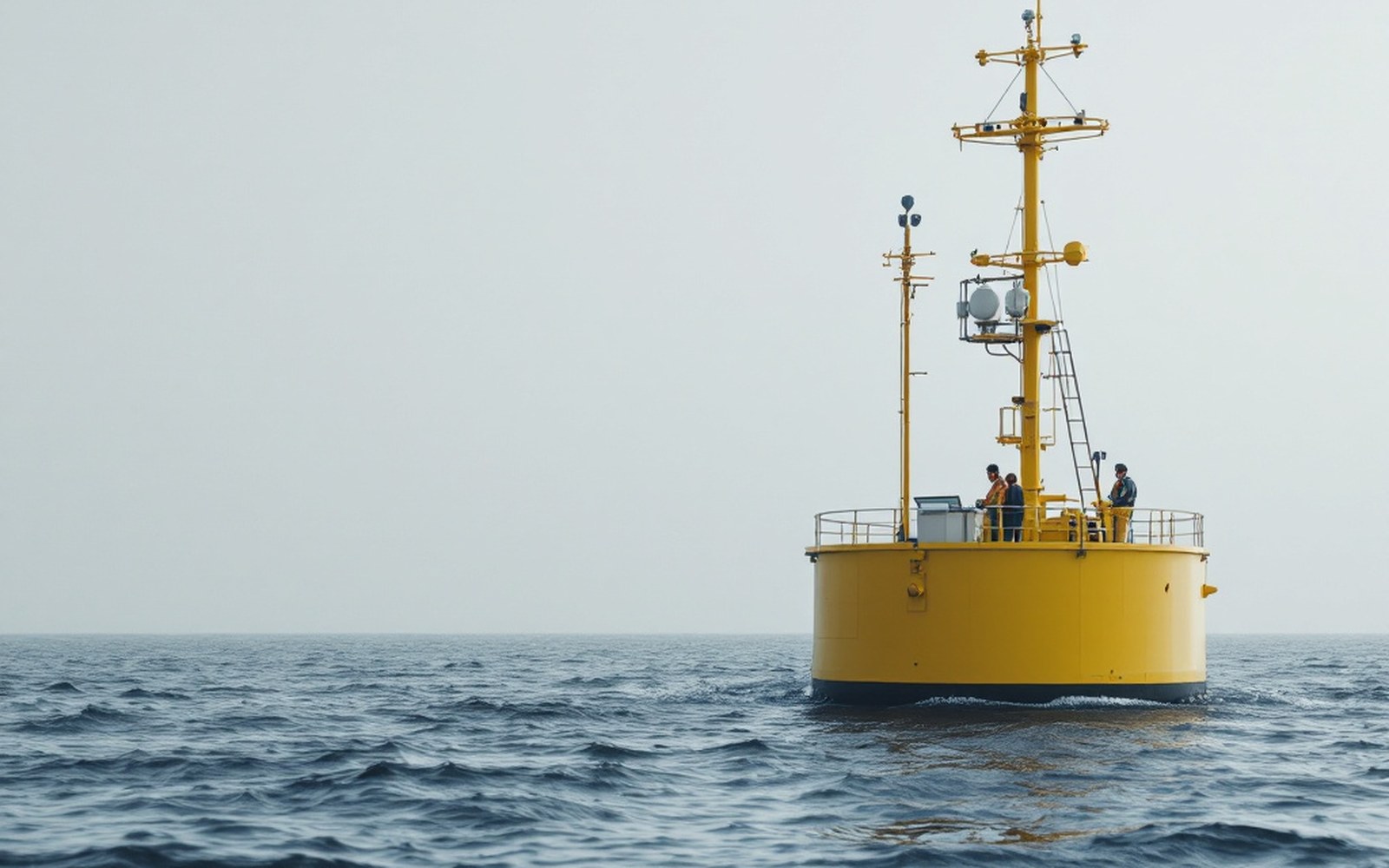
The numbers are not reassuring if you compare them to land. The global drifter array, coordinated under the World Meteorological Organization ↗'s Global Ocean Observing System, aims for one drifter per five-degree square of ocean — a density that, on land, would be considered a planning failure. Each buoy measures sea-surface temperature, air pressure, and sometimes wind and humidity. That data enters the data assimilation systems of every major forecast centre — the Met Office in Exeter, ECMWF in Reading, NOAA's centres in the United States — and helps anchor what the models know about the lower boundary of the atmosphere over water.
The moored buoys are the fixed points. Rows of them are strung across the tropical Pacific under programmes that grew out of the effort to monitor El Niño conditions, and across the tropical Atlantic and Indian Oceans. They rise and fall on the swell, which is not a design flaw so much as an accepted fact: the instruments are built to filter motion from measurement. A buoy does not need to be still; it needs to be honest.
What Survival Requires
A buoy that nobody visits has to be extraordinarily self-sufficient. The hull is designed to shed ice, resist fouling, and survive the kind of seas that would end a small boat. Power comes from batteries or solar panels, and the transmission window is short — a burst of data to a passing satellite, then silence until the next pass. Some drifters carry only a pressure sensor and a GPS receiver, because simplicity is durability, and durability is the whole point. The engineering goal is not precision under laboratory conditions but fidelity across three or four years of the open Pacific.
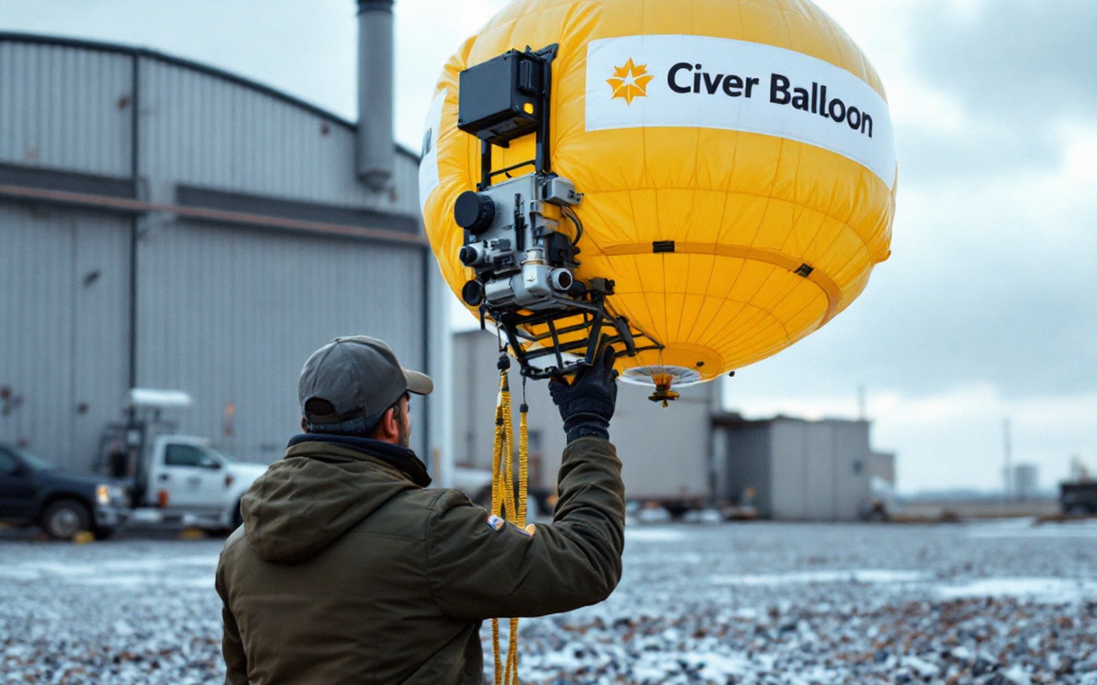
The Argo float programme ↗, which is distinct from the surface drifters but uses the same satellite relay logic, sends profiling floats down to two thousand metres and back, reporting temperature and salinity through the water column before surfacing to transmit. More than three thousand are active at any given time. That subsurface data eventually reaches the atmosphere through the sea-surface temperature it helps characterise, closing a loop that matters to any forecast trying to represent how much energy the ocean is feeding into the air above it.
Most of the planet is ocean, so most observation is unattended and has to survive years without maintenance.
The gap the buoys fill is real. In the 1980s and earlier, surface pressure analyses over the Southern Ocean were largely interpolated — educated guesswork drawn between the rare ship reports that crossed those latitudes. The arrival of drifting buoys with pressure sensors measurably improved analyses there and, in turn, measurably improved forecasts. Verification scores — the systematic records of how well a model predicted what actually happened — showed the improvement directly. The Southern Hemisphere caught up with the Northern.
How the network fits together
- Global drifter arraysurface floats tracking currents, measuring pressure and sea-surface temperature; coordinated internationally; target density roughly one per five-degree square
- Moored buoysfixed-position instruments anchored to the seabed; concentrated in tropical Pacific, Atlantic and Indian Oceans
- Argo floatsprofiling floats diving to 2,000 m and back; measure temperature and salinity through the water column; surface to transmit
- Satellite relayall three systems transmit via satellite; no ship visit required; short data bursts on each pass
None of this is glamorous. A buoy does not have a crew, a name on its hull, or a return date. It transmits its small stack of numbers into a relay chain that eventually feeds a number grid that eventually, somewhere, becomes the rain probability on someone's phone screen. The chain is long, the buoy's contribution is anonymous, and the ocean doesn't care. But remove the buoys and the models lose their grip on most of the planet — and the forecast, for anyone within reach of the sea, quietly gets worse.
Elsewhere in Instruments
A thermometer in a louvred box, and everything after it. Everything in this section.
- The Stevenson ScreenLongLouvred wood, white paint, a specified height: the point is to measure air rather than sunshine, and the design has barely changed.
- The radiosonde ascentLongA balloon rises for around ninety minutes until the latex gives way at roughly thirty kilometres, transmitting all the way up.
- Anemometers, and Robinson's cupsMediumFour cups on a spindle turn at a rate related to wind speed — a relationship that turned out to be less simple than its inventor believed, and had to be calibrated rather than derived.
- What satellites cannot seeMediumA satellite measures radiance, not temperature, and turning one into the other is a calculation with assumptions in it.